The lights dimmed and the spotlight focused on the figure center stage guitar in hand; she began to sing, the voice a little smoky and raspy, working towards the high, round notes so clear in my memory. Soon, “Saint” Joan Baez sang two of my favorites by Bob Dylan and Woody Guthrie respectively, “With God on Our Side” and “Deportee,”. Both songs are stories of love and tragic loss. Each story holding forth the possibility of redemption, that we can learn from our mistakes and take right action.
Election eve, the significance of this sainted singer was not lost on any of us in the audience. This deeply disturbing election season nearly over, we drank deeply of the songs offered us, believing in the promise of a world where all persons count, no matter their origin or identity, and that the fabric of our society is stronger, when our diverse threads are woven together. Listening, my heart responds, I will march again to her call to action to build a better and loving world.
Between songs, she spoke about her belief in the ideas and aspirations expressed by Bernie Saunders as he crossed the county this year connecting with the hopes and ideals of a new generation. But she also spoke admiringly of the courage of Hilary Clinton, withstanding the barrage of lies and intimidation hurled at her these last months.
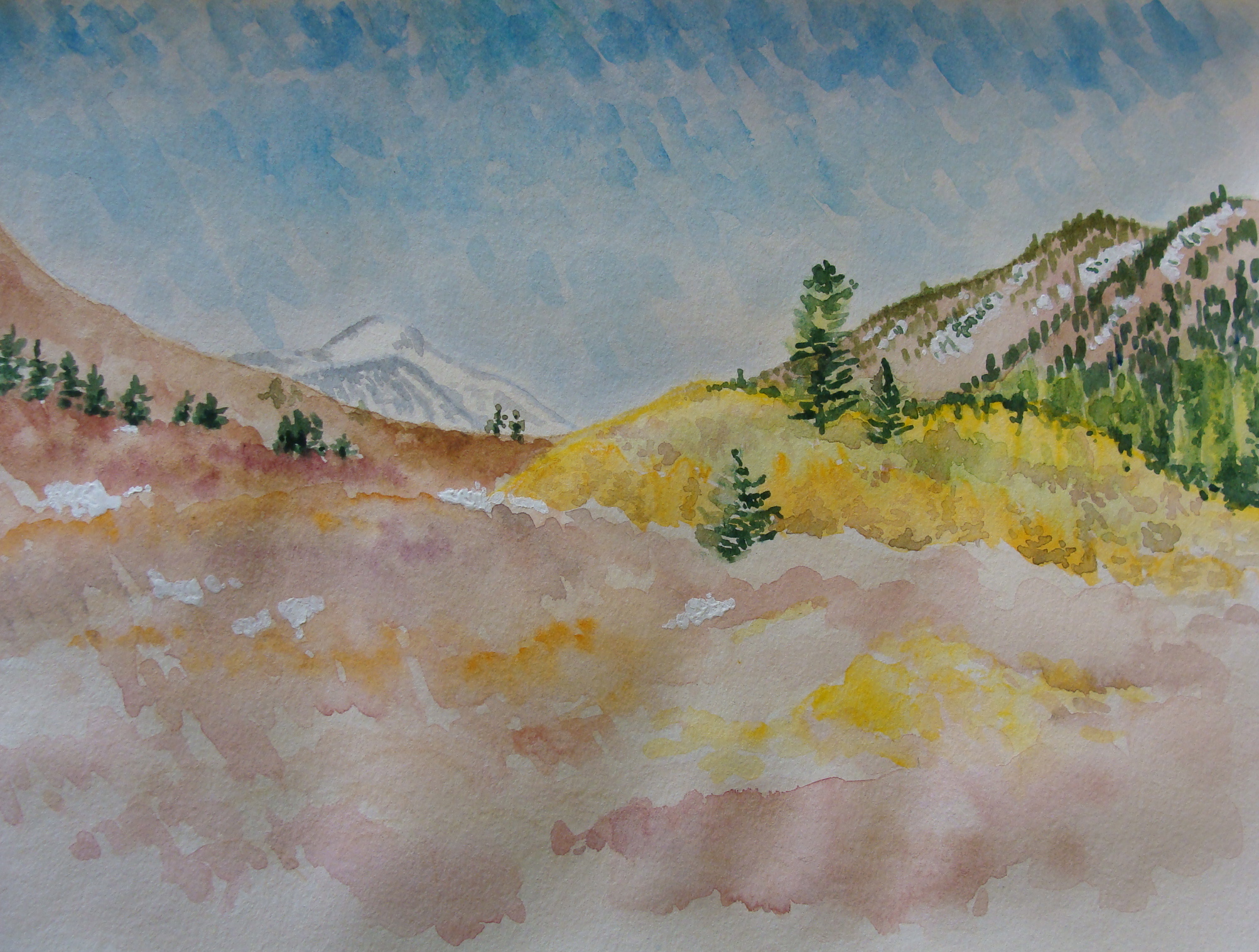
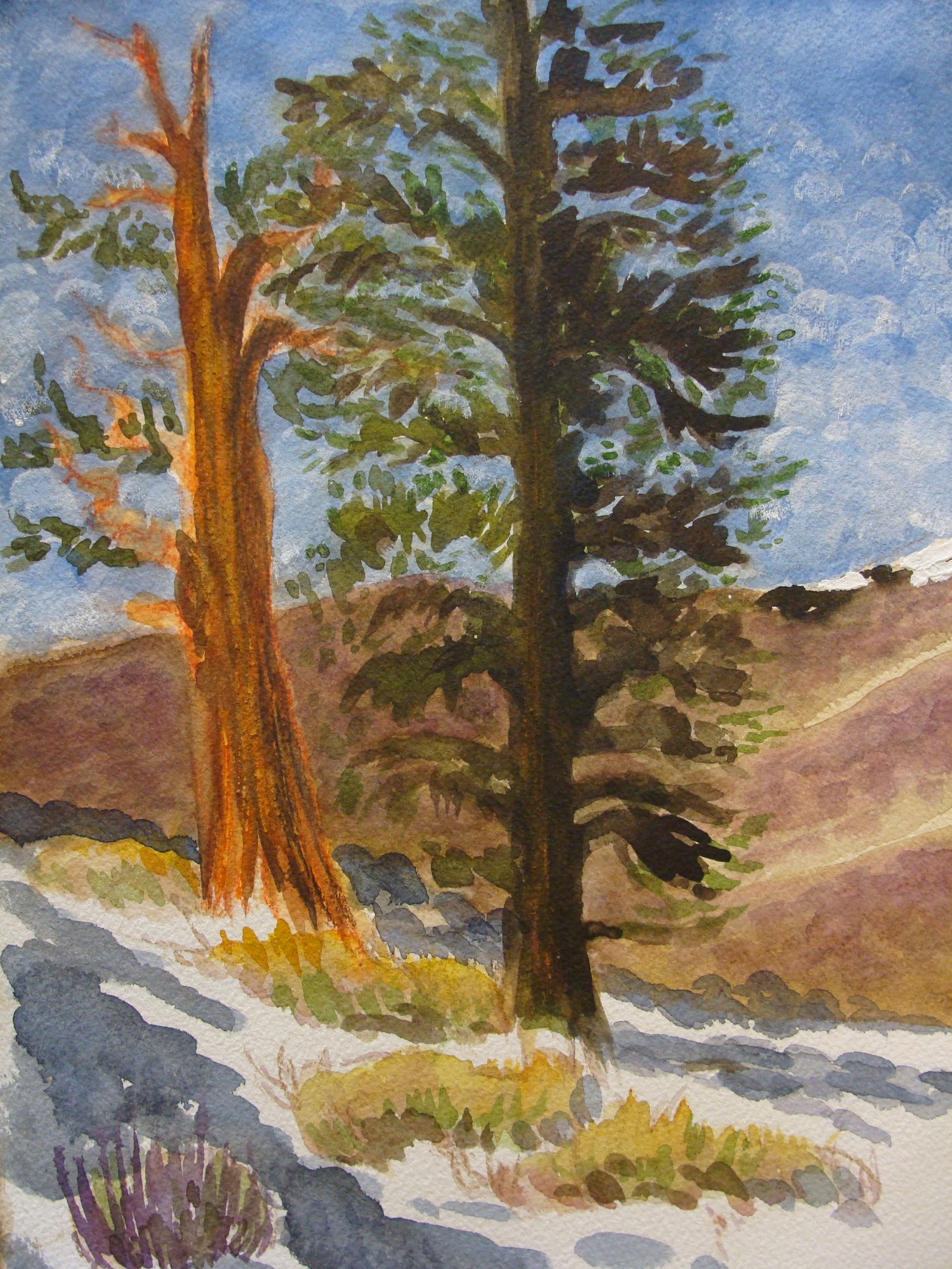
On my recent trip to the Eastern Sierras, many a cottonwood was growing, singularly, isolated from other trees in the valley, telling a story, stately and proud. In some cases, it was unclear if a tree was near death because of lack of water, or if it was merely beginning the long winter sleep. These trees standing statuesque on a parched landscape, with the majestic sierras as their backdrop, called to mind the elm trees, deemed Liberty Trees by the colonists turned patriots at the time of our Revolution. The first such elm was located in Boston and celebrated in the revolutionary poetry of Thomas Paine. Soon Liberty Trees were anointed in towns and cities throughout the colonies; these majestic trees witnessed calls to action, celebrated victories, and mourned defeats. Trees bear witness to our story, and with this act they become part of our own story, symbols of strength, longevity, knowledge, loss, and redemption.
We are participating in the most historic election of our time. The stakes are high; it feels like the future of our nation and perhaps the world weighs upon our ballot box. At times, I have been paralyzed with fear of what may come. But I also know that there are persons, my fellow citizens, who think differently than I and will vote differently than I, and they too are fearful of change. And yet, we are all part of the same country, and we must move forward together, whatever changes comes. I think of the lone cottonwood in the Owens Valley, thirsty. Is the tree telling a story of suffering brought on by a changing climate? Is it hanging on for dear life hoping for the redemption winter snow in the mountains will bring? Is this cottonwood a symbol of my republic gasping, near death? Listening to the tree, my heart responds. While I fear the change that the election could bring, I will be strong like a tree, making connections, bringing the long-view, and sharing all the knowledge and wisdom found deep in my core. I will take right action continuing to build a better and loving world respecting the rights of all living beings.